Research list
Free Mineral Rights Search by State: 12 Official Tools and Every State's Databases
A free mineral rights search by state covers two different things, and mixing them up wastes days. Who owns the minerals is recorded county by county, and no state keeps a free index of private mineral owners. Everything around ownership is free to search: wells, operators, production, leases on federal and state land, and royalty money held for owners. This list sets out the twelve official tools for both, and every state's own databases.
Where to look first
| Your question | Where to look |
|---|---|
| Who owns the minerals under my land? | County recorder or clerk (1) |
| Which wells are near a tract, and who operates them? | State oil and gas regulator (2) |
| Federal minerals or leases? | BLM MLRS (3), BLM GLO Records (4) |
| Minerals the state owns? | State land office (5) |
| Wells across several states on a phone? | RBDMS WellFinder (6) |
| Royalties nobody paid me? | Unclaimed property and MissingMoney (9) |
| Does my state’s law let unused minerals lapse? | AMR Mineral Rights by State (12) |

How we checked
Every tool below was opened on October 5, 2026 and its own page read to confirm what it offers. The state table was built the same way, one agency site at a time. Some state sites refuse visitors from outside the United States or behind automated checks; a link marked with an asterisk could not be opened from our network that day and was taken from the agency’s own pages or an archived copy. Tools that only resell public records, and lists copied from other roundups, are not included. Nothing here is paid placement, and AMR earns nothing from any tool listed.
What each tool answers
| Tool | Ownership | Wells and operators | Production | Leases | Money owed | Coverage |
|---|---|---|---|---|---|---|
| County recorder | Yes | No | No | Recorded leases | No | One county |
| State regulator | No | Yes | Most producing states | No | No | One state |
| BLM MLRS | Federal only | Federal leases | No | Federal | No | Federal minerals |
| BLM GLO Records | Original patents | No | No | No | No | Public land states |
| State land office | State owned | No | No | State leases | No | One state |
| RBDMS WellFinder | No | Yes | No | No | No | Participating states |
| FracFocus | No | Operator, API number | No | No | No | Fractured wells |
| ONRR revenue data | No | No | Federal and tribal | No | No | Federal and tribal |
| Unclaimed property | No | No | No | No | Yes | Each state |
| Geological surveys | No | Historic wells | Varies | No | No | One state |
| EIA | No | No | State totals | No | No | National |
| AMR Mineral Rights by State | No | No | No | No | No | The law, 50 states and D.C. |
1. The county recorder or clerk, where ownership is recorded
Every deed, mineral deed, lease and probate order is recorded in the county where the land lies, indexed by the names of the parties. Following that chain back to the point where the minerals were split from the land is the only way to prove who owns them now.
- Use it for
- Who owns the minerals under a tract, and every deed, lease and probate order that moved them
- Limit
- There is no statewide or national index of private mineral owners; records are county by county, and many counties keep older books offline
Many counties put recent indexes and images online free; older records are often only in the courthouse. AMR’s ownership flowchart takes you through the search step by step.
2. Your state’s oil and gas regulator, for wells and production
Every producing state licenses wells through one agency, such as the Railroad Commission of Texas or the Oklahoma Corporation Commission. Its public search is where a well’s location, operator, permits and, in most producing states, production are published.
- Use it for
- Which wells are near a tract, who operates them, and what they produce
- Limit
- Shows wells and operators, not mineral owners; the detail and the download options differ widely between states
The state table below lists the agency and its search for all 50 states and D.C.; on October 5, 2026, 36 of them published their well records online.
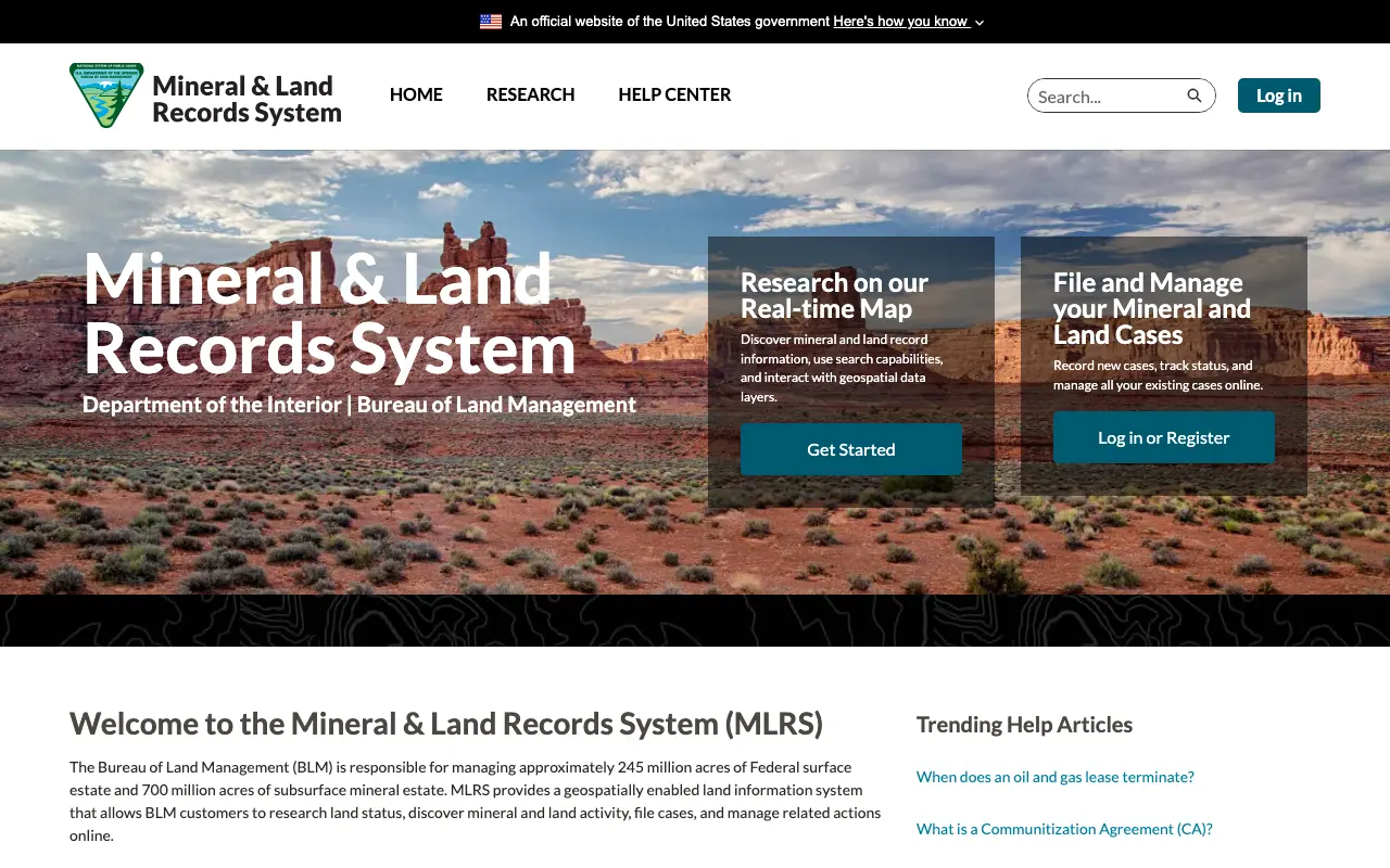
3. BLM Mineral & Land Records System, for federal minerals
The Bureau of Land Management manages about 700 million acres of federal subsurface mineral estate. Its Mineral & Land Records System lets anyone research land status and mineral and land activity on a map, and register to do more.
- Use it for
- Federal oil and gas leases, their status and the land records behind them
- Limit
- Covers federal minerals only; private and state minerals are not in it, and some research needs a free account
Read on October 5, 2026: mlrs.blm.gov
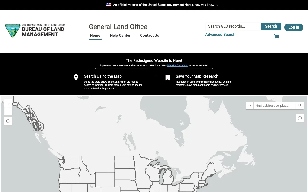
4. BLM General Land Office Records, for original patents
The General Land Office records portal gives image access to more than five million federal land title records issued from 1788 to the present. A patent that reserved the minerals to the United States explains why a private tract has federal minerals under it.
- Use it for
- The original federal patent for land in the public land states, and any minerals it reserved
- Limit
- Shows how land left federal hands, not who owns it today, and covers only the public land states
Read on October 5, 2026: glorecords.blm.gov
5. State land offices, for state owned minerals
Several producing states own large mineral estates, usually school or trust lands, and lease them through a land office or trust land agency. 17 of the 51 jurisdictions put their state owned minerals or the leases on them online; the state table below links each one.
- Use it for
- Minerals owned by the state itself, such as school trust lands, and the leases on them
- Limit
- Only state owned minerals; the search tools and their names differ by state
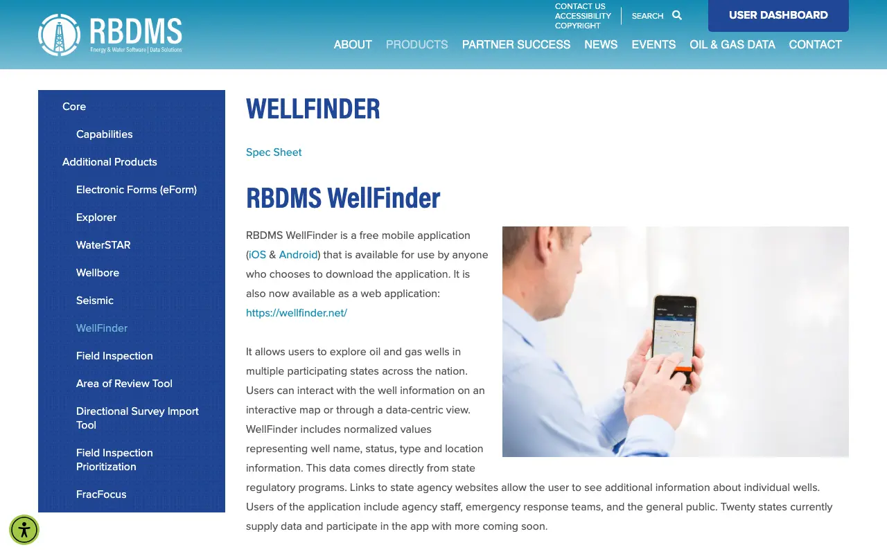
6. RBDMS WellFinder, wells across participating states
WellFinder, from the Ground Water Protection Council’s Risk Based Data Management System, is a free app for iOS and Android and a web app. It shows well name, status, type and location from participating states on a map or as a list.
- Use it for
- A quick look at wells on a map across several states at once, on a phone or the web
- Limit
- Only states that take part, with normalized fields; the state regulator stays the record
Read on October 5, 2026: rbdms.org/products/wellfinder and wellfinder.net
7. FracFocus, for hydraulic fracturing disclosures
FracFocus is the national hydraulic fracturing chemical disclosure registry, building its database since 2011. Anyone can find a well in their area, and the full database can be downloaded as SQL.
- Use it for
- The chemicals used to complete a well, its operator and its API number
- Limit
- Completion chemistry only, for wells that were hydraulically fractured; no ownership or production
Read on October 5, 2026: fracfocus.org
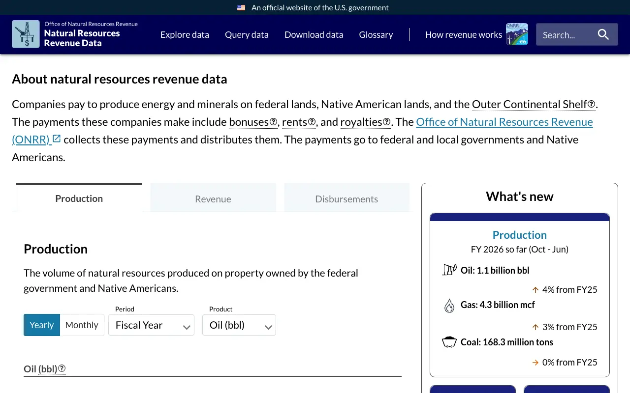
8. ONRR Natural Resources Revenue Data, for federal and tribal production
The Office of Natural Resources Revenue collects the bonuses, rents and royalties companies pay to produce on federal and tribal land and offshore, and publishes the production, revenue and disbursements. AMR’s federal revenue by state reproduces the state disbursements.
- Use it for
- Production, revenue and disbursements on federal lands, Native American lands and offshore
- Limit
- Federal and tribal leases only, reported by state, county or offshore area, never by private tract
Read on October 5, 2026: revenuedata.onrr.gov
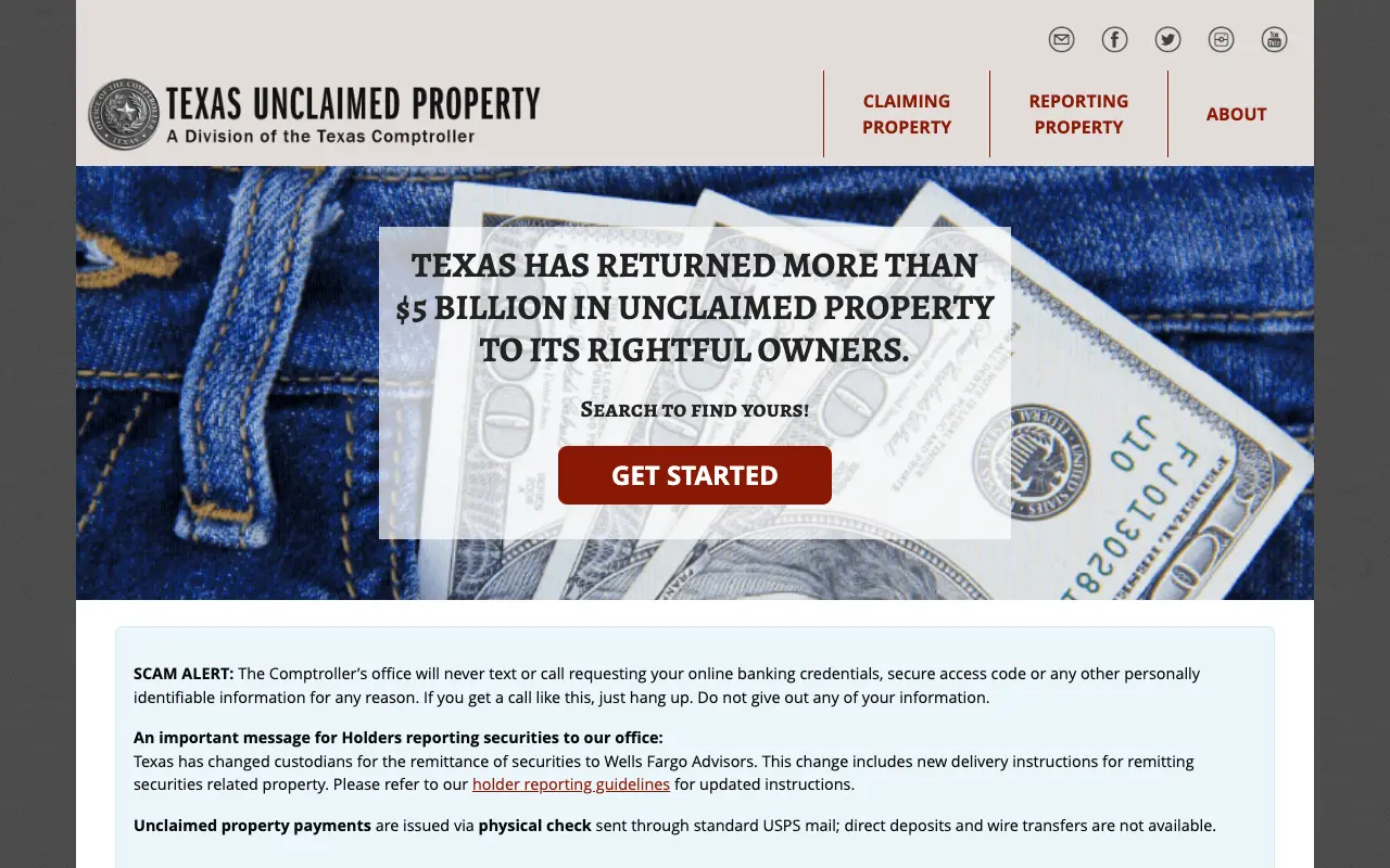
9. Unclaimed property programs and MissingMoney, for royalties held
When an operator cannot find an owner, it holds the royalties and eventually reports them to the state’s unclaimed property program. Every state runs a free search, and MissingMoney.com, from the national association of state programs, searches many states at once. The state table below links each official program.
- Use it for
- Royalty money an operator could not deliver and turned over to the state
- Limit
- Finds money held for a name, not the minerals; search every state where the owner lived or the operator is based
Read on October 5, 2026: missingmoney.com
10. State geological surveys, for older wells and well logs
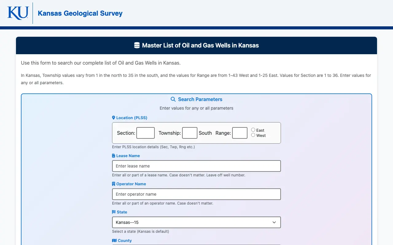
In several states the geological survey keeps the deepest well archive. The Kansas Geological Survey, for example, publishes a master list of oil and gas wells in Kansas, and is moving that search to a new tool in 2026.
- Use it for
- Historic wells, logs and records that predate the regulator’s online system
- Limit
- Coverage and tools vary by state, and some surveys are moving to new systems
Read on October 5, 2026: Kansas Geological Survey well database
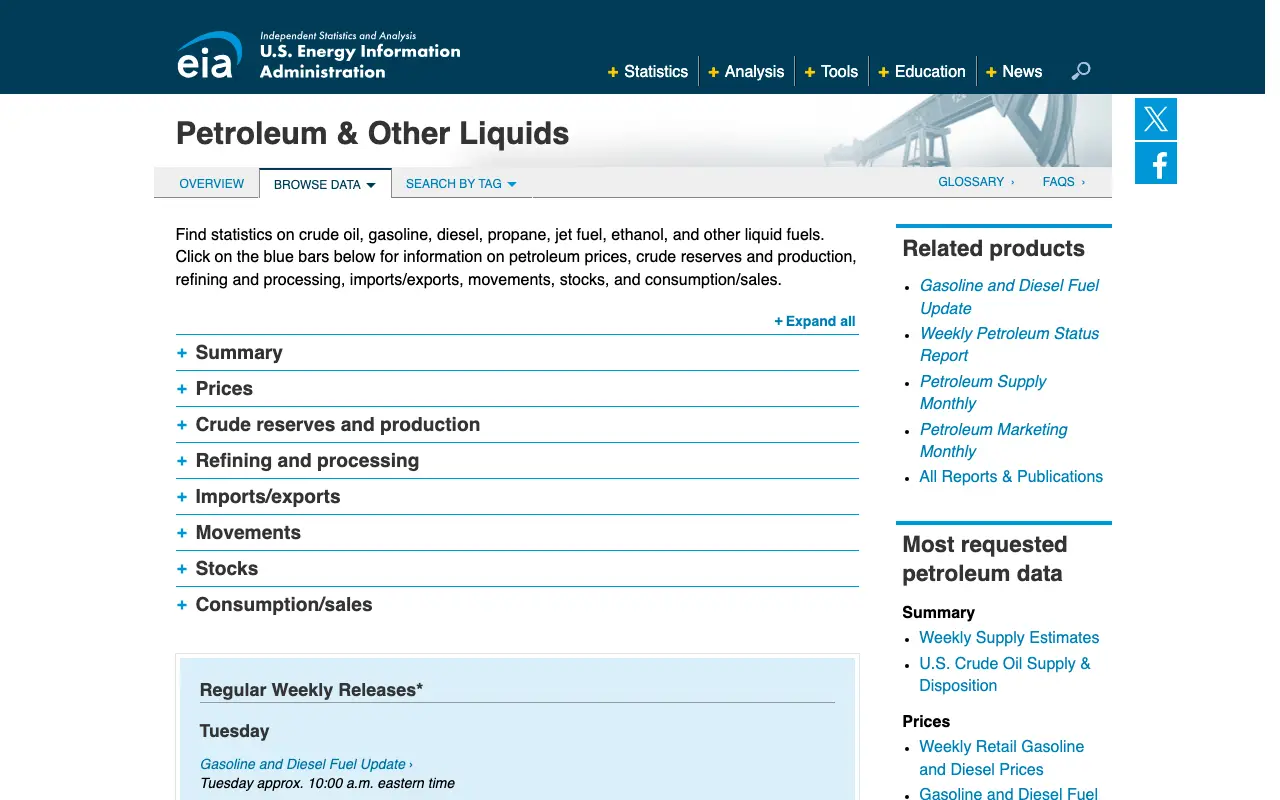
11. EIA, for state and national production
The U.S. Energy Information Administration publishes crude oil and marketed natural gas production for every producing state. AMR’s production by state reproduces the 2024 and 2025 tables with each state’s share.
- Use it for
- How much oil and gas a state produced, by year and month
- Limit
- State totals only; nothing about any well or tract
Read on October 5, 2026: eia.gov
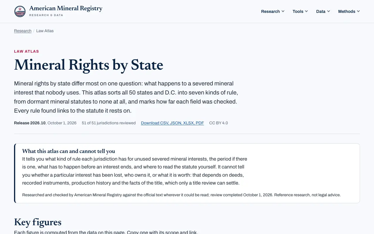
12. AMR Mineral Rights by State, for the law on unused minerals
AMR’s Mineral Rights by State classifies the rule on unused minerals in all 50 states and D.C., with forced pooling and surface damages statutes, every field labeled with its evidence and downloadable under CC BY 4.0. It is the source AMR publishes; it is listed last for that reason.
- Use it for
- Whether a state’s law can end or transfer a severed mineral interest, with the statute quoted
- Limit
- A law reference, not an ownership search: it tells you the rule, not who holds the minerals
All 50 states and D.C.
Each state’s oil and gas regulator and its well search, how it publishes production, its bulk download, the state land office’s tool for state owned minerals where one exists, and the official unclaimed property search, each opened on October 5, 2026. 34 jurisdictions produce oil or gas. 21 of them publish production well by well and 5 by lease, unit or completion; the other 8 publish statewide totals, report by operator, answer on request, publish at a level we could not confirm, or have nothing online. Download the table as CSV (CC BY 4.0).
* Not opened from our network on October 5, 2026, usually because the site accepts United States visitors only; the link comes from the agency’s own pages or an archived copy.
What you cannot find for free
A statewide list of who owns the minerals. No state publishes one. Ownership lives in county deed records, and paid title plants and data vendors build their indexes from the same records.
Your decimal interest. The decimal on a check comes from the operator’s division order, which is not a public record. The operator’s owner relations team will confirm it for the owner.
What an interest is worth. Production data shows what a well made, not what a buyer would pay. Prices for private sales are not published anywhere.
How to choose
| If you are | Start with |
|---|---|
| An heir who just learned about minerals | Old check stubs, then the county recorder (1) and unclaimed property (9) |
| A landowner checking for activity | State regulator (2), then RBDMS WellFinder (6) |
| Researching federal or state minerals | BLM MLRS (3), GLO Records (4), the state land office (5) |
| A journalist or student citing data | State regulator (2), EIA (11), ONRR (8) |
| A developer who needs bulk data | The bulk download column in the state table, FracFocus (7) |
| Checking whether a mineral interest can lapse | AMR Mineral Rights by State (12) |
Common questions
Is there a free mineral rights search by state?
Not for ownership. Each state’s oil and gas regulator offers a free well and production search, and the state land office searches the minerals the state owns, but private mineral ownership is recorded county by county.
Can I search mineral rights by name?
In the county recorder’s index, yes: deeds and leases are indexed by the names of the parties. Unclaimed property searches are also by name. State well databases search by operator, well or location, not by mineral owner.
Can I look up mineral rights by address?
Not directly. Minerals are described by legal description, not street address. Find the tract’s legal description on the deed or the county tax record, then search the county recorder and the state regulator’s map for that location.
Are mineral rights public record?
The deeds, leases and probate orders that create and move them are, in the county where the land lies. The division order that sets an owner’s decimal is not.
Is there a mineral rights map?
State regulators publish well maps, and BLM’s MLRS maps federal leases. No public map shows who owns private minerals, because that is not recorded in one place.
How do I search mineral rights in Texas for free?
Use the county clerk’s deed records for ownership and the Railroad Commission of Texas for wells and production; the state table above links both kinds of source for every state.
Summary
The free tools answer everything except the question most people start with. Use them to find the wells, the operator, the production and any money held for you, then take the legal description to the county recorder, where ownership is written down. Related AMR research: Mineral rights by state, Do I own the minerals? A flowchart, Oil and gas production by state, 1031 exchanges and mineral rights, Mineral rights glossary.
Sources
The state table carries its own links, one per agency. Every page below was opened on October 5, 2026.
- BLM, Mineral & Land Records System, home page
- BLM, General Land Office Records portal, home page
- Ground Water Protection Council, RBDMS WellFinder
- FracFocus, home page
- ONRR, Natural Resources Revenue Data
- MissingMoney.com
- Kansas Geological Survey, oil and gas well database
- EIA, petroleum and other liquids data
Cite this list
American Mineral Registry. "Free Mineral Rights Search by State: 12 Official Tools and Every State's Databases." Release 2026.10.1, October 5, 2026. https:// americanmineralregistry.com/ research/ free-mineral-rights-search-by-state
[Free Mineral Rights Search by State: 12 Official Tools and Every State's Databases](https:// americanmineralregistry.com/ research/ free-mineral-rights-search-by-state), American Mineral Registry, release 2026.10.1 (October 5, 2026).
<a href="https:// americanmineralregistry.com/ research/ free-mineral-rights-search-by-state">Free Mineral Rights Search by State: 12 Official Tools and Every State's Databases</ a>, American Mineral Registry, release 2026.10.1 (October 5, 2026).
@online{amr_free_mineral_rights_search_by_state_12_official_tools_and_every_state_s_databases_2026101,
  author = {{American Mineral Registry}},
  title = {Free Mineral Rights Search by State: 12 Official Tools and Every State's Databases},
  version = {2026.10.1},
  date = {2026-10-05},
  url = {https://americanmineralregistry.com/research/free-mineral-rights-search-by-state}
} TY - ELEC AU - American Mineral Registry TI - Free Mineral Rights Search by State: 12 Official Tools and Every State's Databases ET - 2026.10.1 DA - 2026/10/ 05 UR - https:/ / americanmineralregistry.com/ research/ free-mineral-rights-search-by-state ER -