Research list
Free Oil and Gas Data: 15 Downloadable Sources With Formats and Licenses (2026)
Free oil and gas data is easy to find and hard to choose between: the same well can appear in a state record, a federal file and two compilations, each under different terms. These fifteen datasets are the ones worth starting from, with the format, coverage, update schedule and license of each, read on its publisher’s own page.
Where to look first
Free oil and gas data comes in two kinds. Agencies publish what they collect under their own authority, usually as public domain records; nonprofits and researchers compile those records into one format and add their own terms. Cite the agency when you can, and the compilation when it did the work you are using.
| Your question | Where to look |
|---|---|
| How much oil or gas did a state produce? | EIA production by state (2), or the API (1) for many series |
| Federal or tribal production and revenue? | ONRR (4) |
| Offshore wells and production? | BOEM (5) |
| Well records across several states? | FracTracker (12), or each state’s bulk file in AMR’s state table (15) |
| What went into a fractured well? | FracFocus (3) |
| Orphaned wells? | USGS orphaned well database (7) |
| Infrastructure on a map? | OGIM (10), BLM leases (6), PHMSA pipelines (13) |
| Who operates and owns a field? | Global Oil and Gas Extraction Tracker (11) |
How we checked
Every dataset below was opened on its publisher’s own page on October 5, 2026, and its formats, coverage, update schedule and license are given as that page states them. We did not download every file, so nothing here claims a test of the data itself.
Datasets that are no longer public were left out, including the Homeland Infrastructure Foundation Level Data open portal, which the Department of Homeland Security has closed. Nothing here is paid placement, and AMR earns nothing from any source listed.
How the datasets compare
| Dataset | Formats | License or terms |
|---|---|---|
| EIA Open Data API and bulk files | JSON or XML | Public domain U.S. government work |
| EIA production by state tables | HTML tables and XLS history files | Public domain U.S. government work |
| FracFocus data download | SQL Server backup or CSV in a ZIP | Its terms say the data may not be altered in any way |
| ONRR Natural Resources Revenue Data | CSV and XLSX | Public domain within the United States |
| BOEM Data Center raw data | Delimited text in ZIP files | Public information that may be distributed or copied |
| BLM national oil and gas leases | CSV | Provided by BLM as is |
| USGS Documented Orphaned Well Database | CSV and XLSX with metadata | CC0 |
| USGS National Produced Waters Geochemical Database | XLSX and Shapefile with a data dictionary | Public domain |
| EPA Greenhouse Gas Reporting Program, oil and gas | XLSX summary files and downloads | Its pages may be freely distributed for non commercial |
| OGIM, Oil and Gas Infrastructure Mapping | One GeoPackage of 3.4 GB on Zenodo | CC BY 4.0 |
| Global Oil and Gas Extraction Tracker | XLS after a download form | CC BY 4.0 |
| FracTracker oil and gas wells portal | CSV | Use must be consistent with FracTracker&rsquo |
| PHMSA pipeline annual reports | Tab delimited text in ZIP files with field descriptions | Not stated on the page |
| Railroad Commission of Texas data sets | CSV for the production dump | Free of charge |
| AMR data downloads | CSV | CC BY 4.0 |
1. EIA Open Data API and bulk files, for national and state time series
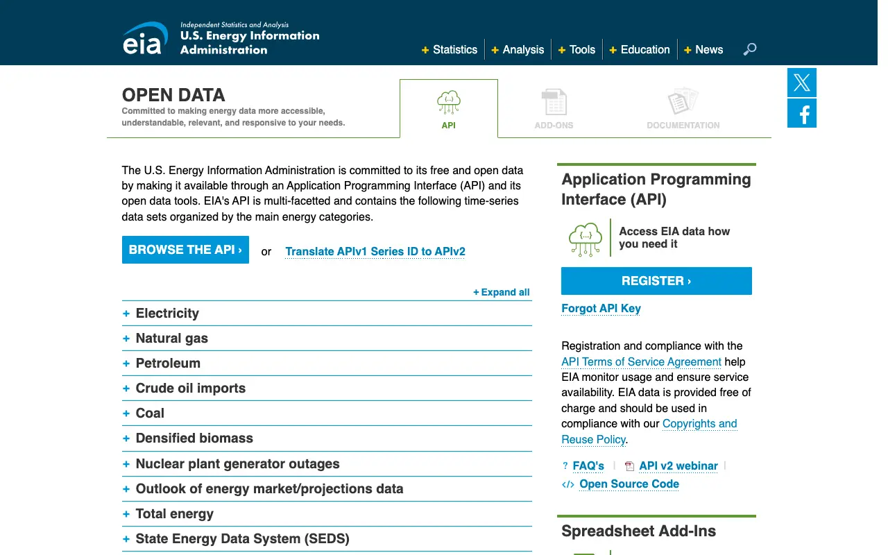
The U.S. Energy Information Administration serves its petroleum and natural gas data, production by state included, through a free API and as full bulk files.
- Use it for
- Any EIA series you want to pull into code or a spreadsheet
- Formats and access
- JSON or XML from the API with a free key, up to 5,000 rows a call; zipped JSON bulk files with no key
- License or terms
- Public domain U.S. government work; EIA asks to be credited
- Limit
- National, regional and state totals, never a single well or lease
The bulk files are rebuilt twice a day, and the petroleum file was last updated on October 1, 2026.
Read on October 5, 2026: eia.gov
2. EIA production by state tables, for the monthly state numbers
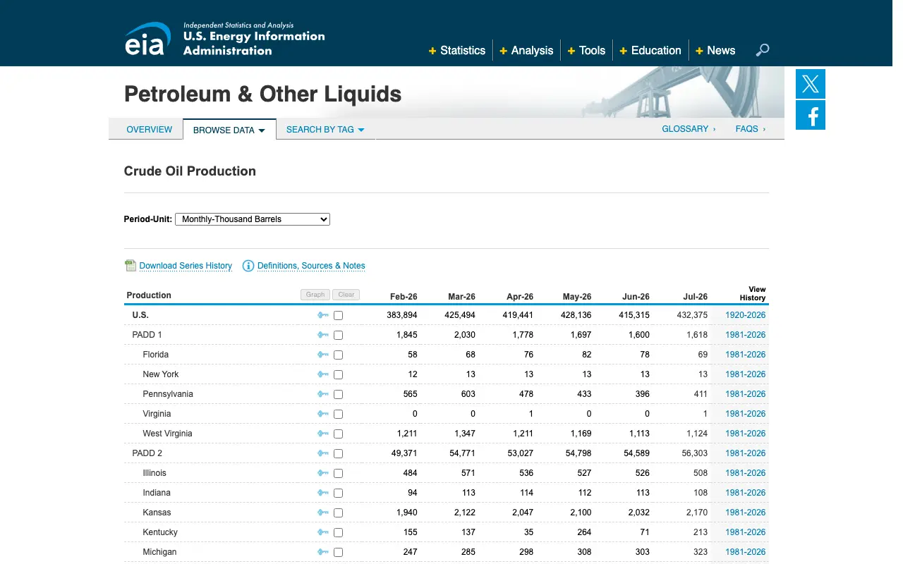
EIA’s tables give monthly and annual crude oil production and natural gas withdrawals for every producing state and the federal offshore.
- Use it for
- Citing how much oil or gas a state produced
- Formats and access
- HTML tables and XLS history files, no key
- License or terms
- Public domain U.S. government work
- Limit
- EIA says its state figures are estimates that can differ from the state agencies’ own
The September 30 release was the newest on October 5, 2026, with the next due October 30. AMR’s production by state reproduces the 2024 and 2025 figures with each state’s share.
Read on October 5, 2026: eia.gov
3. FracFocus data download, for what went into each fractured well
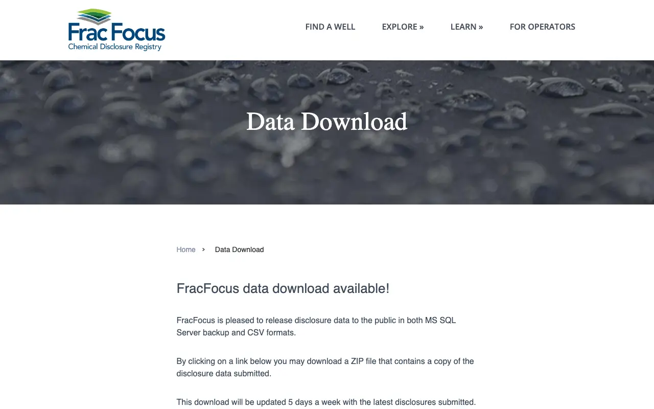
FracFocus, run by the Ground Water Protection Council and the Interstate Oil and Gas Compact Commission, publishes every public hydraulic fracturing disclosure as one download.
- Use it for
- Chemicals, water and well headers for fractured wells
- Formats and access
- SQL Server backup or CSV in a ZIP, no key
- License or terms
- Its terms say the data may not be altered in any way
- Limit
- Wells from 2011 to May 2013 carry header data only, and only states that require or allow disclosure are in it
It is updated five days a week, and 27 states require or allow disclosure.
Read on October 5, 2026: fracfocus.org
4. ONRR Natural Resources Revenue Data, for federal and tribal production and revenue
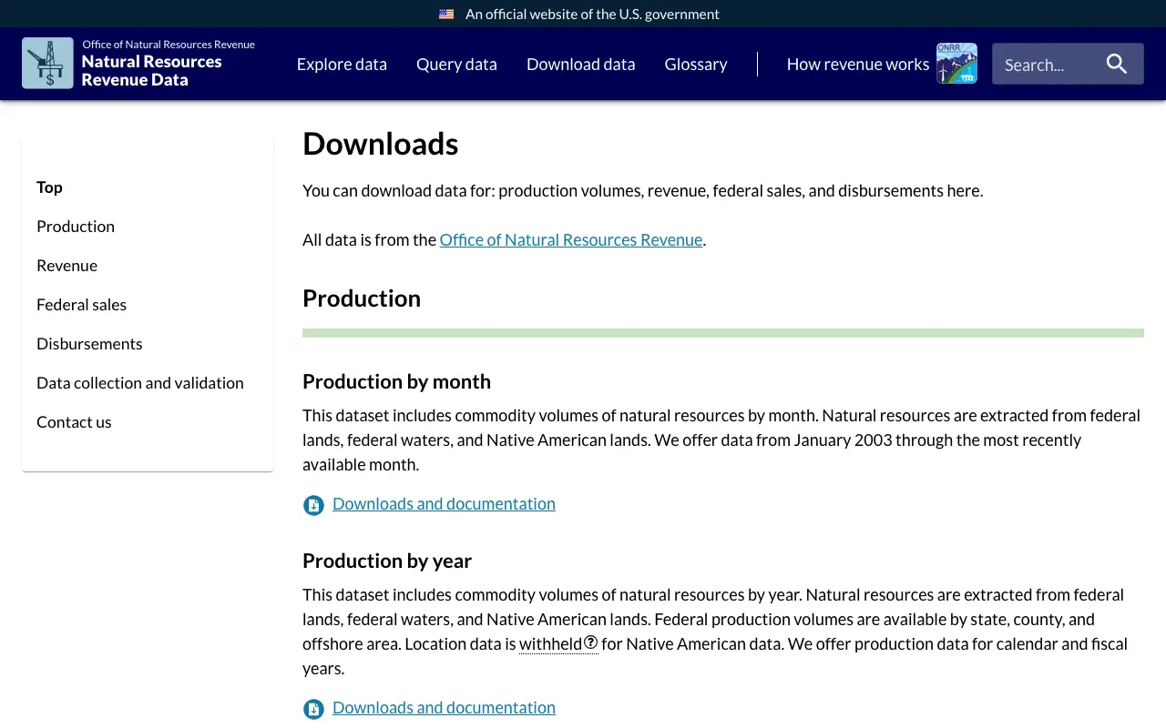
The Office of Natural Resources Revenue publishes production, revenue, federal sales and disbursements for federal lands, federal waters and Native American lands.
- Use it for
- Federal and tribal oil, gas and coal volumes and the money they paid
- Formats and access
- CSV and XLSX, no key
- License or terms
- Public domain within the United States, per the project’s own license file
- Limit
- Private and state minerals are not in it, and production runs three to four months behind
Production goes back to 2003 and revenue to 1982. AMR’s federal revenue by state sums the state disbursements.
Read on October 5, 2026: revenuedata.onrr.gov
5. BOEM Data Center raw data, for offshore wells, leases and production
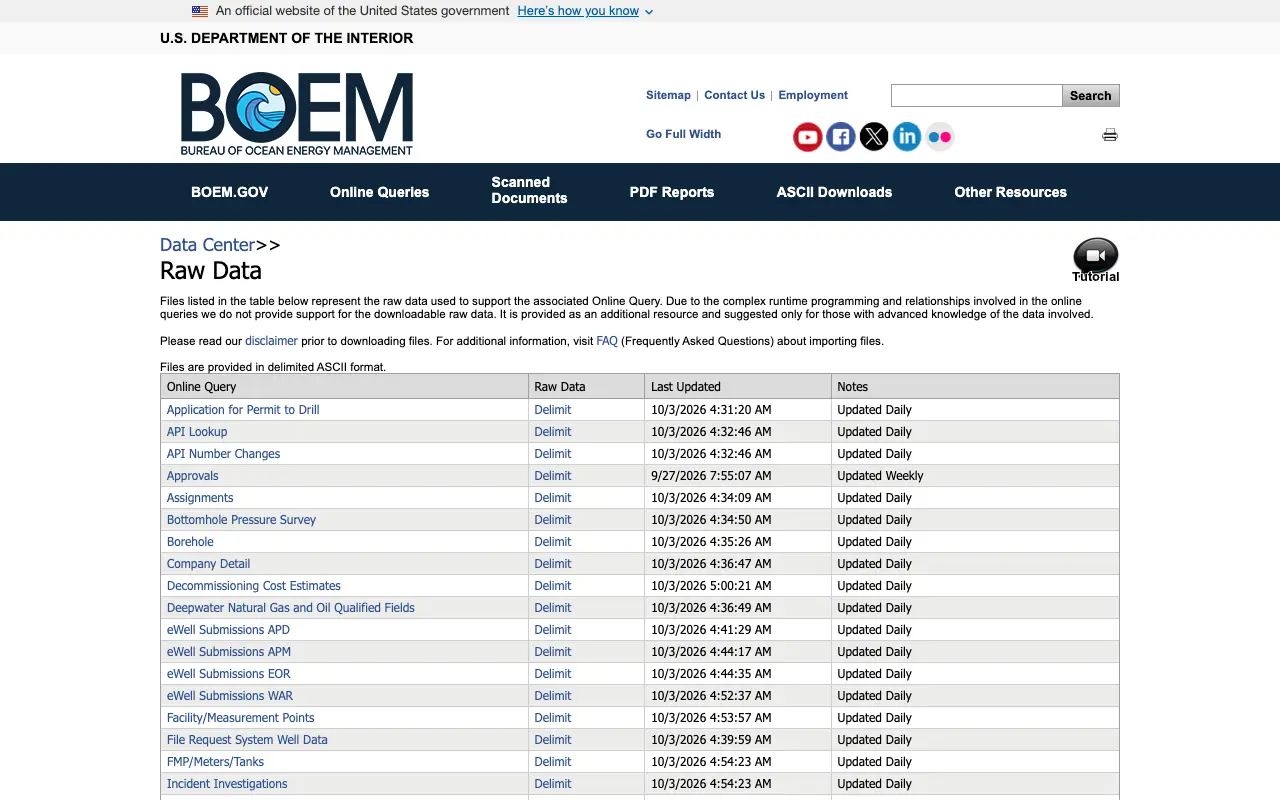
The Bureau of Ocean Energy Management posts the raw files behind its offshore queries: wells, permits, production, platforms, pipelines and lease owners.
- Use it for
- Anything on the Outer Continental Shelf
- Formats and access
- Delimited text in ZIP files, no key
- License or terms
- Public information that may be distributed or copied, per its disclaimer
- Limit
- Offshore only, and BOEM does not support the raw files
Files update daily, weekly or monthly; the production files were updated October 1, 2026.
Read on October 5, 2026: data.boem.gov
6. BLM national oil and gas leases, for federal leases on a map
The Bureau of Land Management maps 466,798 federal oil and gas lease cases from its Mineral and Land Records System to the public land survey, each with a mapping quality score.
- Use it for
- Federal leases by location, in GIS or a spreadsheet
- Formats and access
- CSV, Shapefile, GeoJSON, KML, File Geodatabase or a feature service, no key
- License or terms
- Provided by BLM as is, and may contain errors or omissions
- Limit
- Federal minerals only; last updated April 8, 2026
Agreements and participating areas sit in separate layers on the same hub. Its page greys itself out behind a consent box until a visitor answers it, so this entry has no picture.
Read on October 5, 2026: gbp-blm-egis.hub.arcgis.com
7. USGS Documented Orphaned Well Database, for unplugged orphaned wells
The U.S. Geological Survey compiled 130,121 documented unplugged orphaned oil and gas wells from state agencies, with location, ID, type and status.
- Use it for
- Research on orphaned wells and plugging
- Formats and access
- CSV and XLSX with metadata, and a web map, no key
- License or terms
- CC0, a public domain dedication
- Limit
- Covers 28 states, and only wells a state has documented as orphaned
The 2026 release, published September 30, 2026, replaces the 2022 version. ScienceBase refused our connection from outside the United States, so this entry has no picture.
Read on October 5, 2026: doi.org/10.5066/P13FHBYG
8. USGS National Produced Waters Geochemical Database, for the water that comes up with oil and gas
USGS publishes the chemistry of produced water and deep formation water sampled from U.S. oil, gas and geothermal wells between 1879 and 2022.
- Use it for
- Produced water research
- Formats and access
- XLSX and Shapefile with a data dictionary, no key
- License or terms
- Public domain, per the USGS data catalog
- Limit
- Version 3.0 from December 2023, with no update schedule stated
Read on October 5, 2026: doi.org/10.5066/P9DSRCZJ
9. EPA Greenhouse Gas Reporting Program, oil and gas, for facility emissions
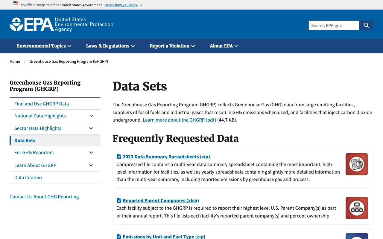
EPA publishes greenhouse gas data from oil and gas facilities that emit 25,000 metric tons of carbon dioxide equivalent or more a year, onshore production and gathering included.
- Use it for
- Emissions by facility and segment
- Formats and access
- XLSX summary files and downloads from its query tools, no key
- License or terms
- Its pages may be freely distributed for non commercial, scientific and educational purposes
- Limit
- The newest posted year is 2023, and EPA proposed in 2025 to remove reporting for many sources
Read on October 5, 2026: epa.gov
10. OGIM, Oil and Gas Infrastructure Mapping, for wells, platforms and pipelines worldwide
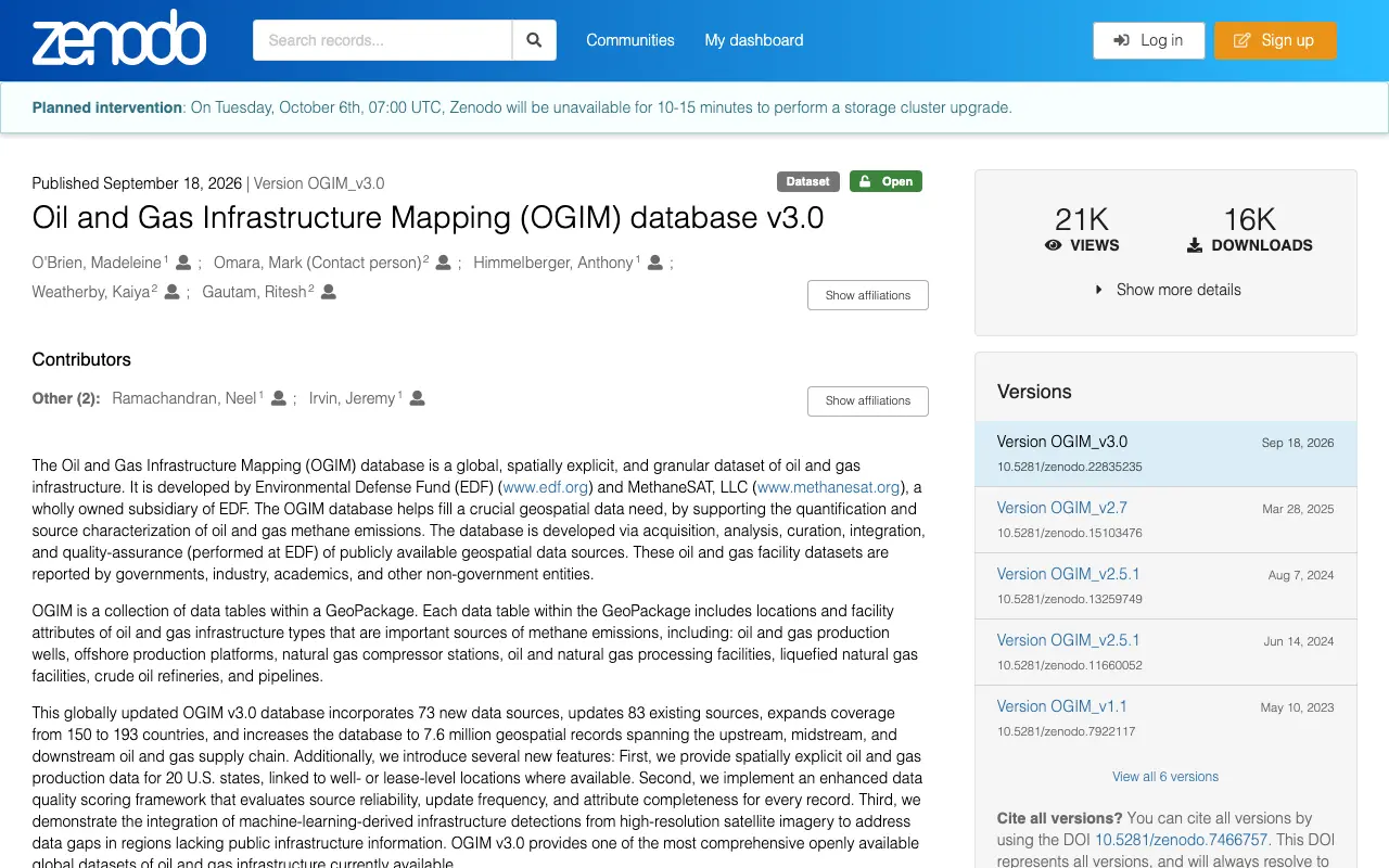
The Environmental Defense Fund and MethaneSAT publish 7.6 million mapped records of oil and gas infrastructure, wells, platforms and pipelines included, each with its source date.
- Use it for
- Mapping infrastructure across the U.S. and 192 other countries
- Formats and access
- One GeoPackage of 3.4 GB on Zenodo, no key
- License or terms
- CC BY 4.0
- Limit
- Built from sources reported in 2025 or earlier, and too large for a spreadsheet
Version 3.0 was published September 18, 2026.
Read on October 5, 2026: zenodo.org
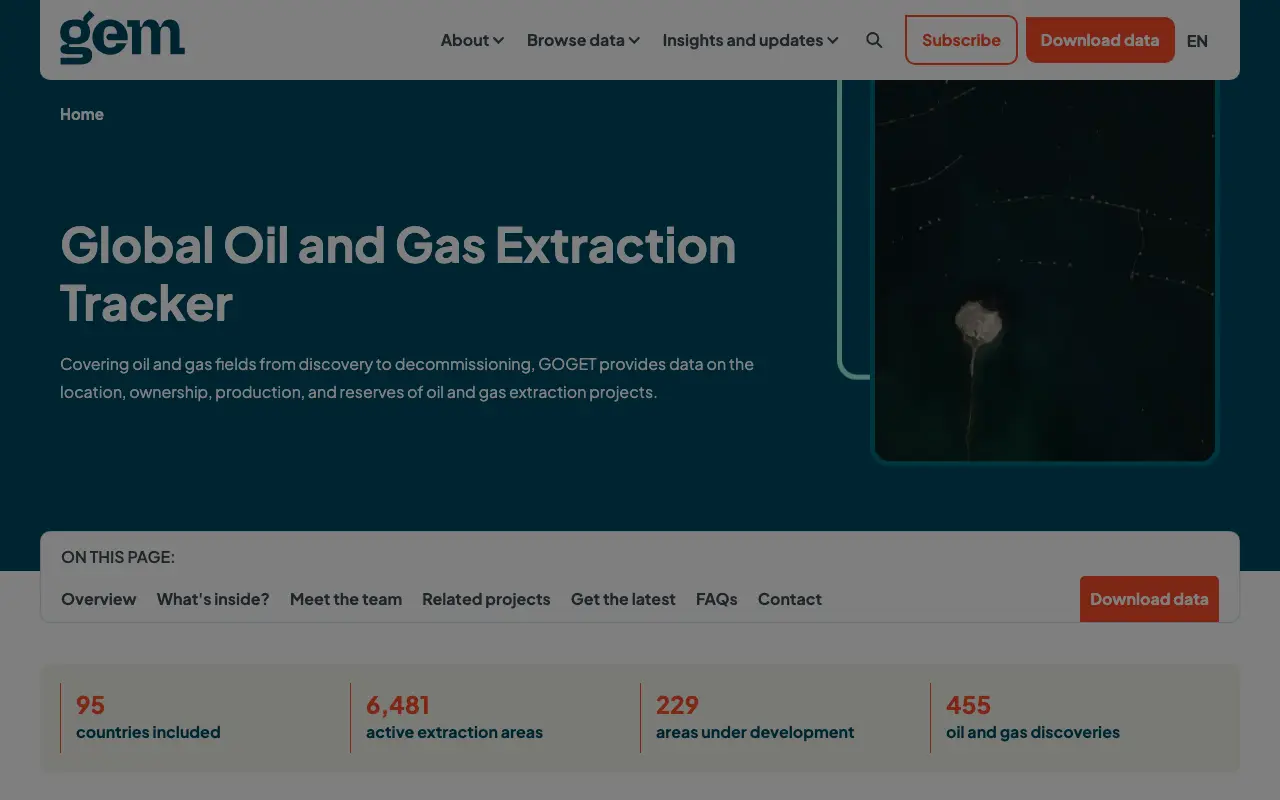
11. Global Oil and Gas Extraction Tracker, for fields, operators and owners
Global Energy Monitor tracks oil and gas fields from discovery to decommissioning, with operator, owners, status, production, reserves and location.
- Use it for
- Who operates and owns a field, worldwide
- Formats and access
- XLS after a download form
- License or terms
- CC BY 4.0
- Limit
- The form asks for your name, email, organization and a description of your use
The current release is from March 2026.
Read on October 5, 2026: globalenergymonitor.org
12. FracTracker oil and gas wells portal, for state well records in one format
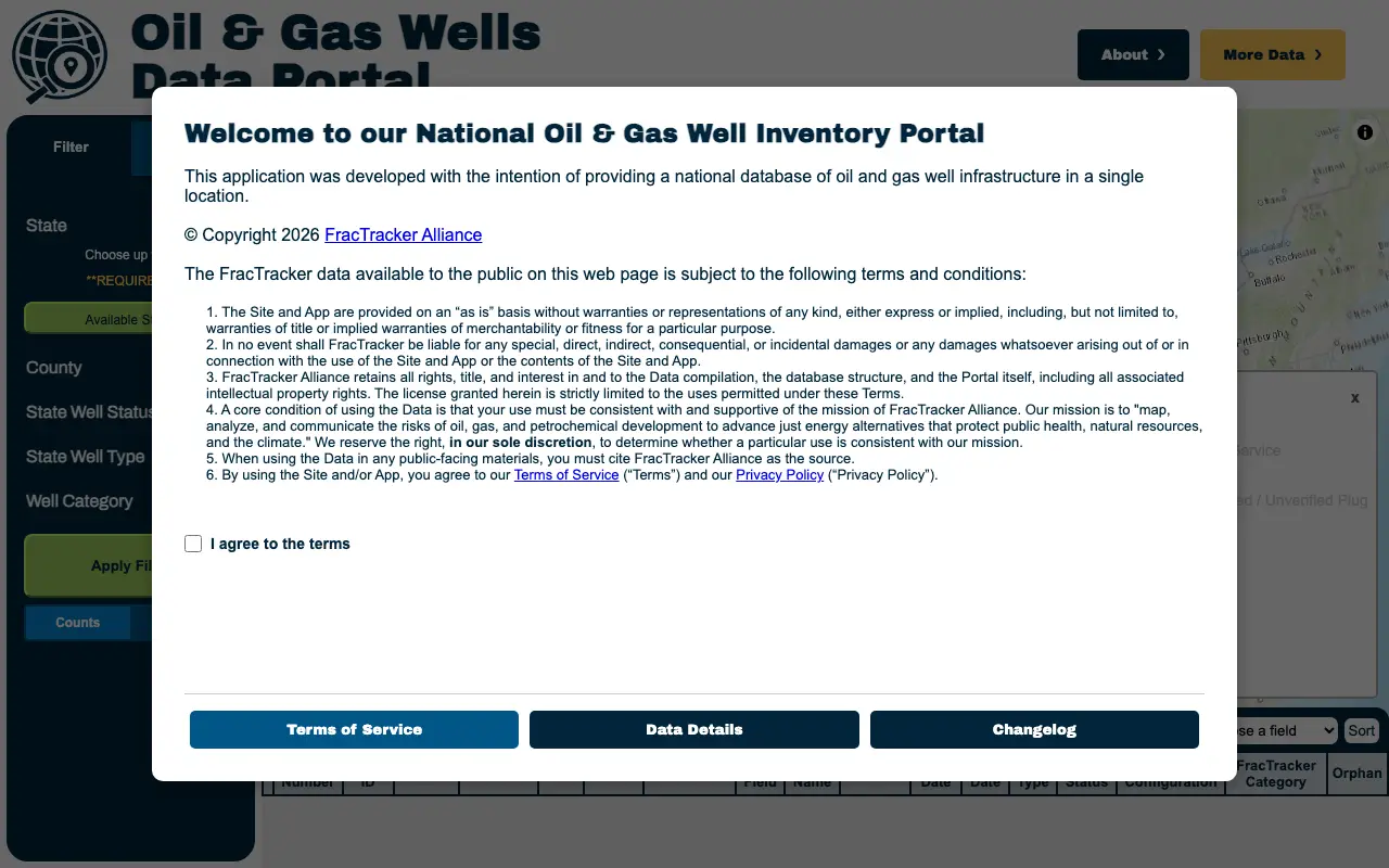
The FracTracker Alliance compiles nearly five million U.S. well records from state agencies into one standard format, every status from producing to orphaned.
- Use it for
- Well records across states without learning each state’s system
- Formats and access
- CSV, GeoPackage or Shapefile, up to three states a download, email required
- License or terms
- Use must be consistent with FracTracker’s mission, and citation is required
- Limit
- A nonprofit compilation with its own terms, not the state record itself
A terms window opens first, and the picture shows it as a visitor sees it.
Read on October 5, 2026: wells.fractracker.org
13. PHMSA pipeline annual reports, for pipeline mileage and operators
The Pipeline and Hazardous Materials Safety Administration publishes operators’ annual reports for gas distribution, transmission, gathering, hazardous liquids, LNG and storage since 1970.
- Use it for
- Pipeline mileage, facilities and commodities by operator
- Formats and access
- Tab delimited text in ZIP files with field descriptions, no key
- License or terms
- Not stated on the page
- Limit
- Operator reports, not a map of every line
The files are updated monthly. The site refused our connection from outside the United States, so this entry has no picture.
Read on October 5, 2026: phmsa.dot.gov
14. Railroad Commission of Texas data sets, for Texas production since 1993
The Railroad Commission of Texas publishes its production data query dump, with wellbore, permit and other sets, free of charge.
- Use it for
- Texas production by lease, and Texas well records
- Formats and access
- CSV for the production dump, ASCII and dBase for the others, no key
- License or terms
- Free of charge; a license is not stated
- Limit
- Texas only
The production dump is refreshed on the last Saturday of each month. The other states’ bulk downloads are in the state table of our free mineral rights search by state list.
The site did not answer from our network, so this entry has no picture.
Read on October 5, 2026: rrc.texas.gov
15. AMR data downloads, for the law and the state databases
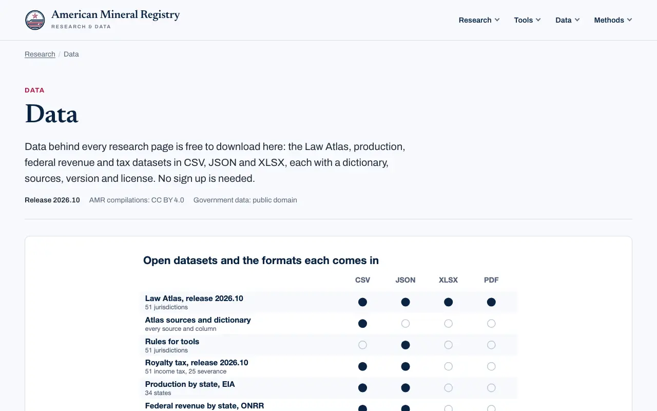
American Mineral Registry publishes its own compilations: the mineral rights law for 50 states and D.C., production and federal revenue by state, state royalty tax rules and the table of official state databases.
- Use it for
- The law on unused minerals, and one table of every state’s official databases
- Formats and access
- CSV, JSON, XLSX and PDF, no key
- License or terms
- CC BY 4.0; the government figures inside stay public domain
- Limit
- Compilations of other sources, each row naming its own; listed last because it is ours
The state databases CSV gives each state’s regulator, production level, bulk download, land office and unclaimed property search.
Read on October 5, 2026: americanmineralregistry.com
What free data will not give you
Who owns the minerals. No dataset here lists private mineral owners; ownership is recorded county by county, as our free mineral rights search by state explains.
Production for every well in every state. Some states publish by well, some by lease and some only statewide totals; the state table in that list shows which.
What an interest is worth. Production and price data describe output, not the price of a private sale, which no public dataset records.
How to choose
| If you are | Start with |
|---|---|
| A student writing a paper | EIA (1, 2) and ONRR (4): public domain, stable, easy to cite |
| A journalist checking a state’s numbers | EIA production by state (2), then the state agency for the state’s own figure |
| A developer building a well map | FracTracker (12) for one format, or each state’s bulk file (15) for the record itself |
| A GIS analyst | OGIM (10) for infrastructure, BLM leases (6) for federal land |
| Researching emissions or orphaned wells | EPA GHGRP (9) and the USGS orphaned well database (7) |
Common questions
Is there free oil and gas data I can use in my own work?
Yes. Federal data from EIA, ONRR, BOEM and USGS is public domain or dedicated to it, and OGIM and the Global Oil and Gas Extraction Tracker are CC BY 4.0, which asks only for credit.
Do I need an API key for EIA data?
For the API, yes, and it is free by email. The bulk files and the state tables need no key.
Where can I get production for a single well?
From the state agency, in the states that publish by well; the state table in our free mineral rights search by state marks which do and links each bulk file.
Can I change FracFocus data and republish it?
Its terms say the data may not be altered, so publish your analysis and cite FracFocus rather than redistributing an edited copy.
How do I cite these datasets?
Name the publisher, the dataset, the version or release date and the date you downloaded it; the USGS datasets give a DOI to cite.
Summary
For numbers you will cite, start with the agency that collected them: EIA for state totals, ONRR for federal land, BOEM offshore and each state for its own wells. Use the compilations when you need many states in one format, and keep their terms. Related AMR research: Mineral rights by state, Do I own the minerals? A flowchart, Oil and gas production by state, 1031 exchanges and mineral rights, Mineral rights glossary.
Sources
Every page below was opened on October 5, 2026.
- EIA Open Data API and bulk files
- EIA production by state tables
- FracFocus data download
- ONRR Natural Resources Revenue Data
- BOEM Data Center raw data
- BLM national oil and gas leases
- USGS Documented Orphaned Well Database
- USGS National Produced Waters Geochemical Database
- EPA Greenhouse Gas Reporting Program, oil and gas
- OGIM, Oil and Gas Infrastructure Mapping
- Global Oil and Gas Extraction Tracker
- FracTracker oil and gas wells portal
- PHMSA pipeline annual reports
- Railroad Commission of Texas data sets
Cite this list
American Mineral Registry. "Free Oil and Gas Data: 15 Downloadable Sources With Formats and Licenses (2026)." Release 2026.10.1, October 5, 2026. https:// americanmineralregistry.com/ research/ free-oil-and-gas-data
[Free Oil and Gas Data: 15 Downloadable Sources With Formats and Licenses (2026)](https:// americanmineralregistry.com/ research/ free-oil-and-gas-data), American Mineral Registry, release 2026.10.1 (October 5, 2026).
<a href="https:// americanmineralregistry.com/ research/ free-oil-and-gas-data">Free Oil and Gas Data: 15 Downloadable Sources With Formats and Licenses (2026)</ a>, American Mineral Registry, release 2026.10.1 (October 5, 2026).
@online{amr_free_oil_and_gas_data_15_downloadable_sources_with_formats_and_licenses_2026_2026101,
  author = {{American Mineral Registry}},
  title = {Free Oil and Gas Data: 15 Downloadable Sources With Formats and Licenses (2026)},
  version = {2026.10.1},
  date = {2026-10-05},
  url = {https://americanmineralregistry.com/research/free-oil-and-gas-data}
} TY - ELEC AU - American Mineral Registry TI - Free Oil and Gas Data: 15 Downloadable Sources With Formats and Licenses (2026) ET - 2026.10.1 DA - 2026/10/ 05 UR - https:/ / americanmineralregistry.com/ research/ free-oil-and-gas-data ER -